GoViz
A Smart Integrated Headache Rack System
GoViz is a smart integrated headache rack, equipped with advanced sensing technology, to enhance visibility, mitigate hazards, and improve safety in mining and construction sites. By integrating features such as collision avoidance systems, hazard mapping, and real-time communication, GoViz addresses critical safety challenges in these sectors.
Features
Low profile amber and white strobe lights visible from any angle
Integrated backup alarm automatically or manually controlled
Integrated cameras for 360 viewing and recording with one front-facing infrared camera
Integrated back and front flood lights
Motorized telescopic safety flag
Side accessible storage compartments
Refrigerated storage compartment
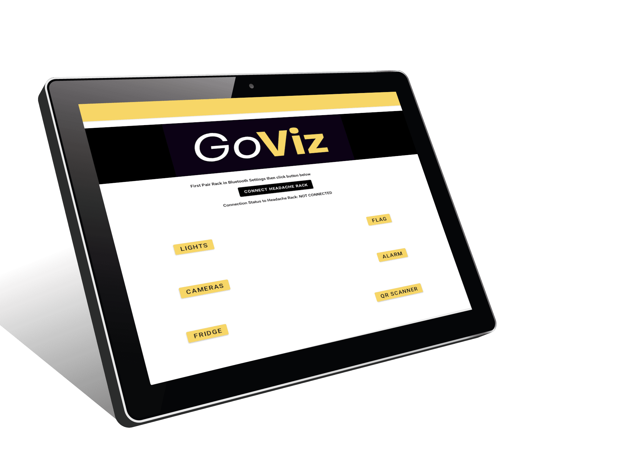
Stand-alone controller and display tablet
Our Services
Site News
View Real Time Site News & Updates.
Premium Support
Get access to 24/7 premium support.
Technology Updates
Free software updates.

Control the Headache Rack through the Mobile App:
Front & Rear Flood Lights
Strobe Lights
Cooling Compartment Temperature
Alarm
Extend the automated Flag
Real-Time Front and Rear Camera View.
Get Site News & Updates in Real Time
View & Track Hazards in Real Time
An innovative app designed for drivers in mining environments, enabling them to view and report hazards and alerts in real-time. The app also allows the addition of video and documentation on the fly, offers route tracking, and provides alerts when approaching marked hazards. It features customizable mine field maps using GIS mapping data and syncs seamlessly with the cloud.
Key Features:
Real-Time Hazard Reporting:
- View and report hazards and alerts directly within the app.
- Add video and documentation instantly while on the move.
Route Tracking:
- Track routes within the mine field with precise GPS data.
- Monitor and analyze driving patterns for improved safety and efficiency.
Proximity Alerts:
- Receive alerts when approaching a hazard mark, enhancing driver awareness and safety.
- sound alarm when other vehicles approach within a certain distance.
Customizable Maps:
- Utilize GIS mapping data to create customizable mine field maps tailored to specific needs and conditions.
Cloud Synchronization:
- Sync all data with the cloud for real-time updates and access from anywhere.